
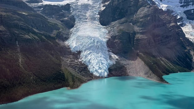

A stunning feature of British Columbia’s landscape is undergoing a significant transformation, as researchers have observed that the Berg Glacier on Mount Robson has receded to a point where it no longer connects with Berg Lake.
Joseph Shea, an associate professor in geography at the University of Northern British Columbia (UNBC), realized the glacier had moved away from the lake while concluding a field study this summer and captured a photograph.
“This represents a highly symbolic change,” Shea remarked. “Having worked in the mountains for many years, the indicators of glacial change are unmistakable.”
The Berg Glacier is situated on the northern face of Mount Robson, the tallest peak in the Canadian Rockies, located near the Alberta border in central B.C.
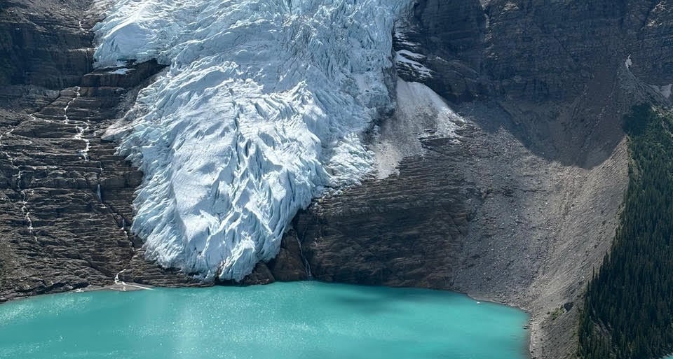
In the last six years, B.C. Parks has collaborated with UNBC researcher Brian Menounos, who has been tracking changes to the Berg Lake glacier and reports significant alterations in recent times. (Submitted by Joseph Shea)
Previously, the glacier extended to Berg Lake, allowing ice chunks from its lower edge to calve and fall into the lake.
Berg Lake derives its name from the icebergs that can be seen drifting on its turquoise waters, even during the peak of summer.
The region, which includes the 23-kilometre Berg Lake Trail, is highly favored by outdoor enthusiasts, with camping spots typically booking up within hours when reservations open in spring.
-
More stories from Northern B.C.
-
Section of B.C.’s world-renowned Berg Lake Trail opens after flooding repair
According to B.C. Parks, the trail provides “some of the most breathtaking views in the province.”
Shea anticipates that the distance between the glacier and the lake will not impact the water levels of the lake, but he indicates that it may result in fewer icebergs being released directly into Berg Lake.
“Robson will continue to be a remarkable destination, so visitors shouldn’t expect their experience to change too drastically,” he stated. “However, it serves as a powerful visual representation of climate change.”

UNBC professor discusses the glacial separation and climate change.
Surface area of glaciers being lost
UNBC researcher Brian Menounos has been examining the Berg Glacier as part of his broader research on glacier melt.
From 2021 to 2023, he worked with the Ministry of Water, Land and Resource Stewardship on a study that revealed a loss of 22 percent of the surface area of glaciers in Western Canada and Switzerland between approximately 1985 and 2021.
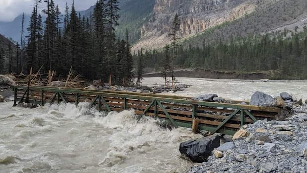
The Berg Lake Trail also suffered significant damage from climate change as a result of rapid snow and ice melt, which caused flooding during the historic heat wave experienced by the province in 2021.
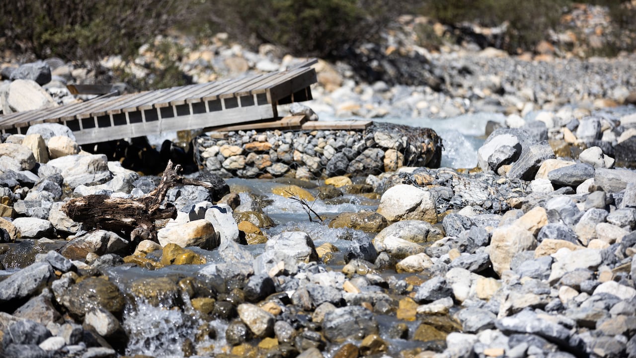
A bridge destroyed by flooding at Berg Lake in Mount Robson Provincial Park is shown in August 2022, over a year after hikers had to be evacuated due to high water levels during the record-breaking heat wave. (Gian-Paolo Mendoza/CBC)
Numerous hikers were evacuated from the park over the Canada Day weekend that year due to dangerously elevated water levels.
The entire trail was reopened in June 2025 following extensive repair efforts.
“It was a combination of extreme melting rates and heavy precipitation that ultimately caused the disaster and the need to evacuate hikers,” Shea explained.
He mentioned that part of his current work involves aiding B.C. Parks in establishing real-time weather stations that will gather data on snowpack levels, temperature, humidity, wind speed, atmospheric pressure, and precipitation.
“Grasping not only the scientific reasons behind the changes in glaciers or the factors contributing to their rapid melting, but also utilizing this information can enhance park management strategies and improve forecasts for wildfires and avalanches,” he noted.
“Thus, we’re aiming to achieve multiple objectives simultaneously by setting up weather stations in the mountains.”
B.C. Parks anticipates that real-time data will be accessible by the fall or winter of 2026, allowing the staff of Mount Robson Provincial Park to utilize the weather data from these stations for better park management and to receive early warnings about potentially hazardous conditions for visitors.